
Mont Blanc – Italian Normal Route / Pope Route via Gonella – 1750m, PD+
This page has information from my forthcoming guidebooks on the 4000m peaks (2023), Mont Blanc and the Graian Alps region (2024) and Pennine Alps (2025). The comprehensive topo infomation is available to download in pdf format, see below.
If you want prints of any of these images check out https://www.bentibbettsphotography.com > Image library. If you don’t find what you are after contact me!
Mont Blanc Overview
Mont Blanc reigns by a significant margin as the highest mountain in Western Europe. There is no other mountain higher until Elbrus, in the Caucasus, 1500km to the east., and the only other massifs that have comparable dominance over the surrounding pastoral landscape are Monte Rosa, and the northern wall of the Bernese Alps: the Eiger, Monch and Jungfrau.
Until the mid 18th century, high and glaciated mountain regions were regarded with terror and believed to be the domain of dragons. Wild landscapes held no appeal. During that century however, societal change slowly precipitated different attitudes and emotions towards mountain landscapes. By a process of cultural alchemy, the qualities for which the mountains were most despised: their barrenness, steepness and danger, started to become their attraction. By 1800, no longer was it considered lunacy to risk ones life to climb a mountain.
The ascent of Mont Blanc was sponsored by the scientist Horace Bénédict de Saussure of Geneva, who embodied these changing attitudes when writing about high alpine chamois hunters: “it is these very dangers, this alternation of hope and fear, the continual agitation kept alive by the sensations in his heart, which excite the huntsman, just as they animate the gambler, the warrior, the sailor and, even to a certain point, the naturalist among the Alps whose life resembles closely, in some respects, that of the chamois hunter.”i The early exploration of Mont Blanc was foundational in the early development of alpinism as a sport. The subsequent first ascent on August 8th 1786 by two men from Chamonix, the chamois hunter Jacques Balmat and doctor Michel- Gabriel Paccard, garnered attention across Europe.
Their original route, known as the ‘ancien passage’ is threatened by seracs. This, like many historic lines has been abandoned as an ascent route, and gradually safer ways have become more popular. Nevertheless, there is no route to the summit that is not exposed either to rockfall or serac hazard, in addition to altitude and vagaries of the weather. In 1950, roughly 100 people ascended Mont Blanc each year by its various routes. By 1980, this figure was 2000 people, and nowadays it attracts roughly 20,000 – more people than any other peak in the Alps. Almost all of these climbers attempt the long, but technically modest Aiguille du Goûter & Arête des Bosses route above Chamonix. The 3 Monts route from the Aiguille du Midi, and the winter ski ascent via Grands Mulets are the other relatively amenable and popular ways up the French side. This north side of the mountain is (still) largely glaciated, with only a few ridges and buttresses protruding from the vast sheets of ice. By contrast, the east, south and west faces that mostly lie in Italy are characterised by wild, imposing granite ridges and buttresses. These provide some of the finest mixed climbs in the world, and have kept alpinists inspired for generations.
A significant proportion of the alpinists that attempt Mont Blanc’s normal routes each year, still neglect the physical training and acclimatisation necessary to climb such a high mountain. The French rescue service, the PGHM, averages 80-100 rescues per year on these routes, of which 80% are due to exhaustion. The conditions at nearly 5000m are much more capricious than at lower altitudes, and wind, fog and sudden drops in temperature can occur with barely any warning. This combination of altitude, exposure to wind and weather, plus the length of any of these routes, means that this mountain remains a severe challenge by any route. Successfully reaching the summit, and getting back down safely, is always a well earned effort. Before heading for any of these routes, it is useful to ask the Office de Haute Montagne in Chamonix for current conditions – the state of serac formations, rimayes and the rockfall in the Grand Couloir.


Example pages from the comprehensive topo – available now as a pdf download (print book available 2023)
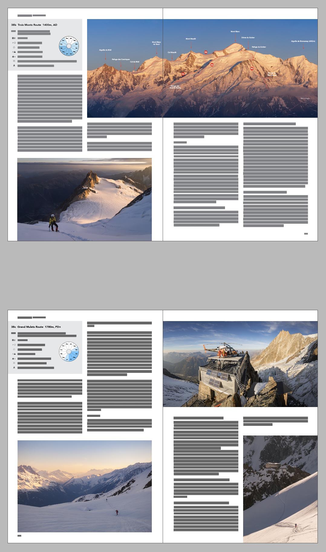
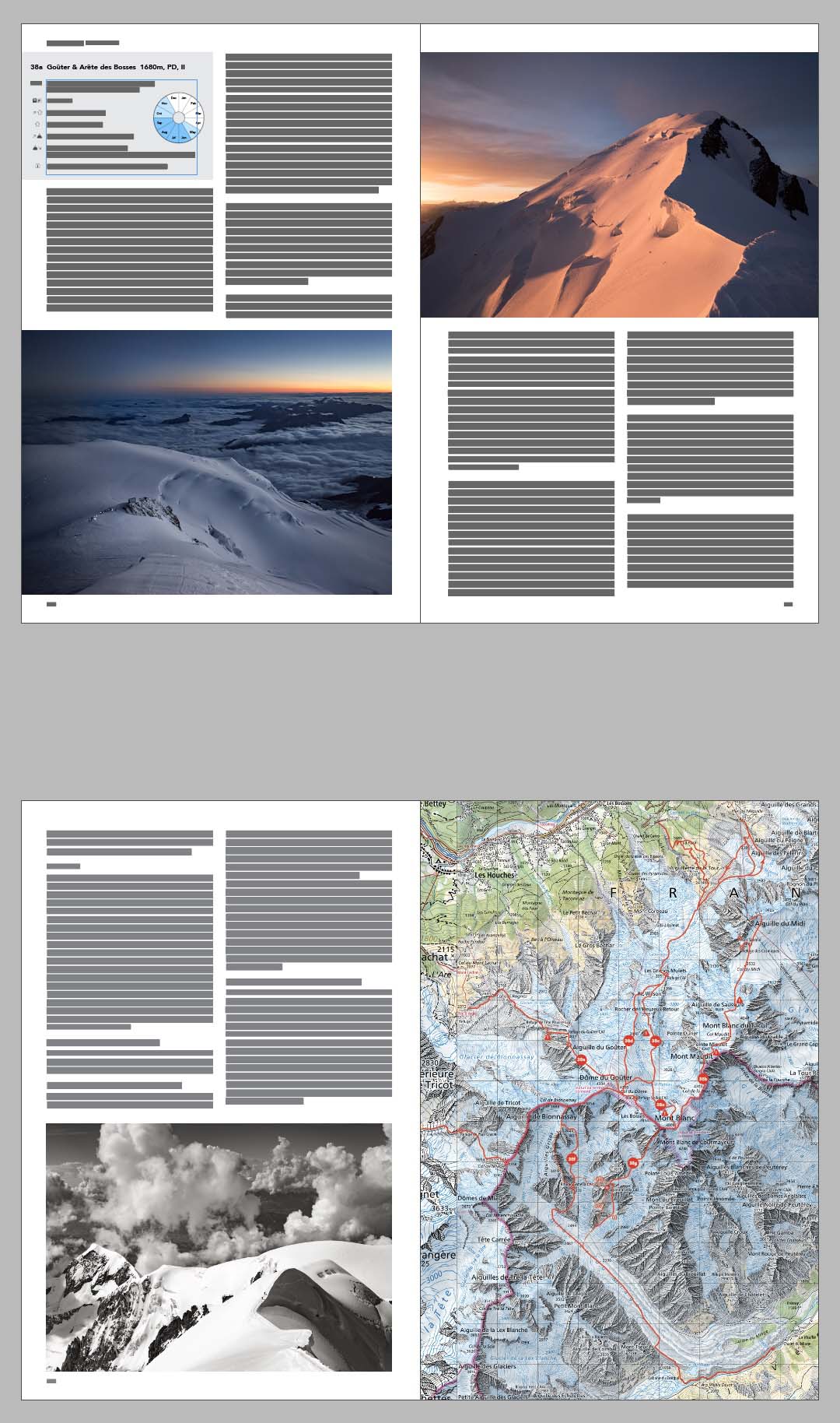
Example pages from the comprehensive topo:
(available now as a pdf download, print book available 2023)
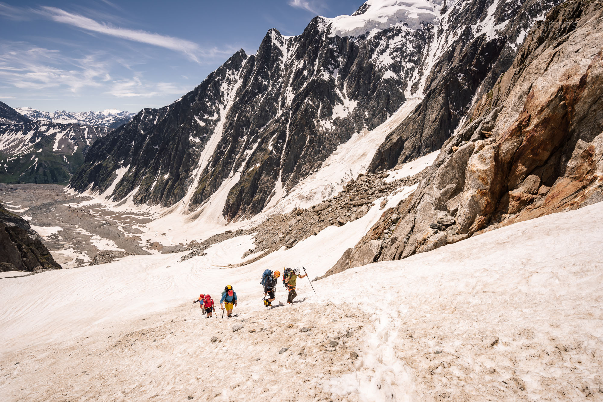
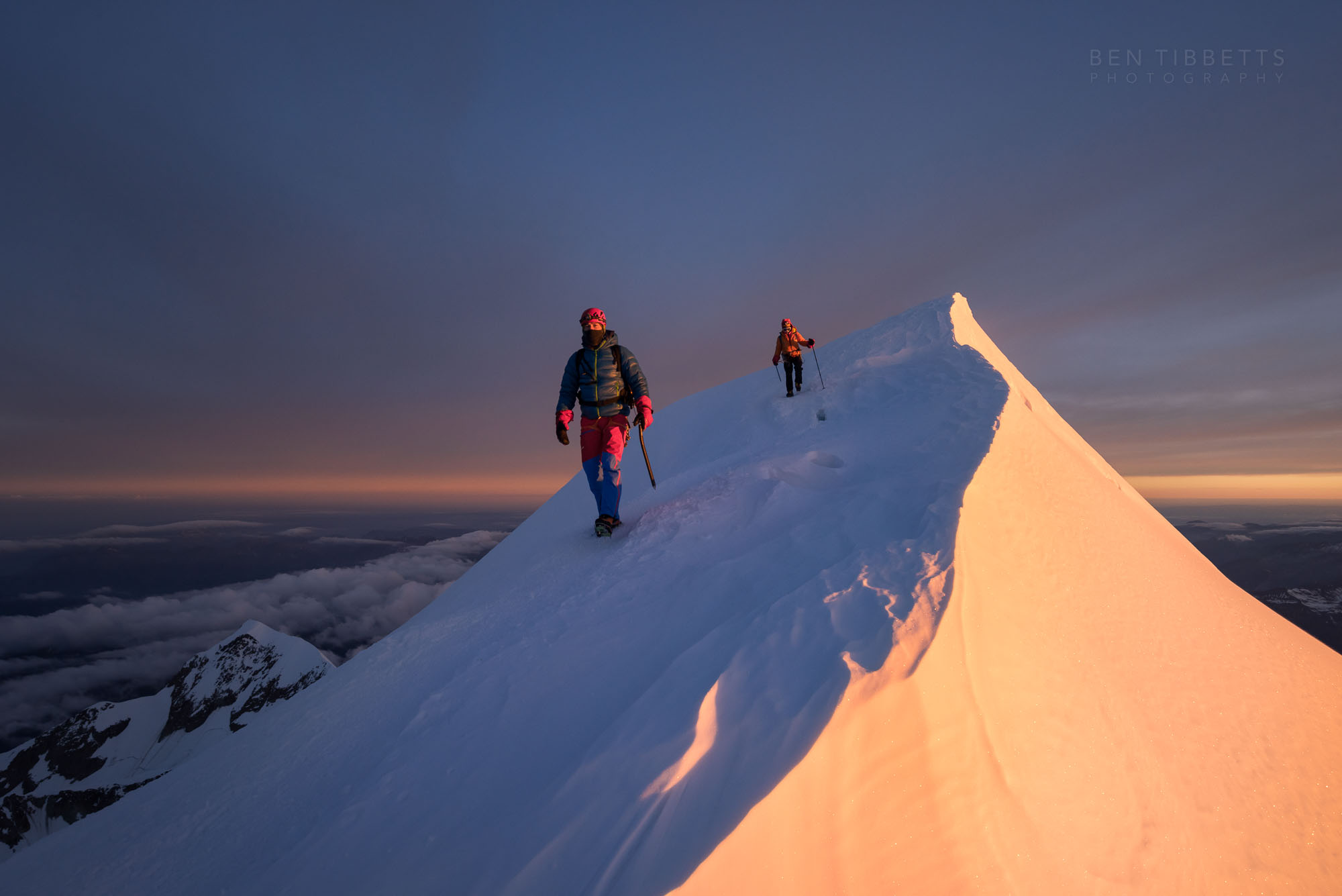
This magnificent journey lies on the other side of Mont Blanc from the other ‘normal’ routes. Hidden far out of sight of any road or lift access, the “Pope route” is the easiest way to climb Mont Blanc from Italy. This route from the Glacier du Miage to the Gonella refuge, and then up the Glacier du Dôme before following the French – Italian border to the summit. It is a line of exceptional beauty that, though longer, poses no greater difficulties than the normal Goûter Route (38a TK) on the French side. Even in high season, the long approach hike to the Pope route serves to filter out all but a trickle of alpinists.
A variation of this line was first traversed in descent from the Dôme du Goûter in 1865 by Edward Buxton, Florence Grove and Reginald Macdonald, guided by Jakob Anderegg, Jean Pierre Cachat and Peter Taugwalder. Though aiming to descend the Glacier de Bionnassay, they were disorientated in mist and headed down the steep eastern branch of the Glacier du Dôme. This route didn’t become popular due to the danger of serac fall, but was rediscovered in 1890 by Abate Achille Ratti, the future Pope Pius XI, guided by Guiseppe Gadin and Alessio Proment. Ratti’s party was descending after climbing the west face of Mont Blanc via the Tournette spur, at that time the standard route up Mont Blanc from Italy. The line they descended was further west than Buxton’s, down the easier western branch of the Glacier du Dôme from the Piton des Italiens, and thus created what subsequently became the modern “normal” route from Italy.


“By noon we had all reached the summit [of Mont Blanc] by the ordinary [Tournette] route,” wrote Ratti. “There had arisen a sea of mist which came up to within a few hundred metres of the summit. Our peak, and a number of lesser ones, stood out above the mist like islands, piercing the pure clear sky above with their bristling rocky precipices and their glittering ice and snow. There was no wind, no trace of cold: it was even rather warm – ‘A little too warm,’ said Gadin.” Due to the temperature, they thought that descending that same day, “by snowy ridges and glaciers would have been a rash undertaking, hardly admissible, even if successful.”i Such considerations have become even more important as our summer temperatures have soared in recent decades, and the 0ºC isotherm regularly rises above 4000m. On descent it is critical, when passing the Refuge du Goûter for instance, to consider whether it will still be cold enough and thus safe to cross the dangerous “Grand Couloir” below.
“Moreover, we had foreseen the contingency and had decided to ask hospitality of the builders of the Vallot Observatory Refuge,” wrote Ratti. “They were just giving the finishing touches, and M. Vallot was expected there with his wife on the following day.” The group spent the night in the small wooden cabin and then started down the following morning via the Dôme du Goûter to the Piton des Italiens.
The Pope Route provides a relatively safe and easy way up or down the Italian side of Mont Blanc and is ideal for those in search of tranquility on such a popular mountain. Having quickly realised the value of this route, the Italian Alpine club established the first Rifugio Gonella below the Aiguilles Grises in 1891.
For Approach, Route and Descent description and detailed photo topos please see the PDF download available.


